Atlascine
Atlascine is an online mapping application dedicated to mapping stories for research purposes.
This tool was originally developed by the Geomedia Lab, based on the open-source platform Nunaliit, developed by the GCRC, to map cinematographic stories in order to better understand where the actions of Canadian films unfold and how these locations affect the spatial imaginary of audiences. Since then, Atlascine has attracted attention nationally and internationally (e.g. in 2015, it received the first prize in the Geospatial application competition at an International Geography Festival in France) and has been used to map a range of stories, including stories of refugees.
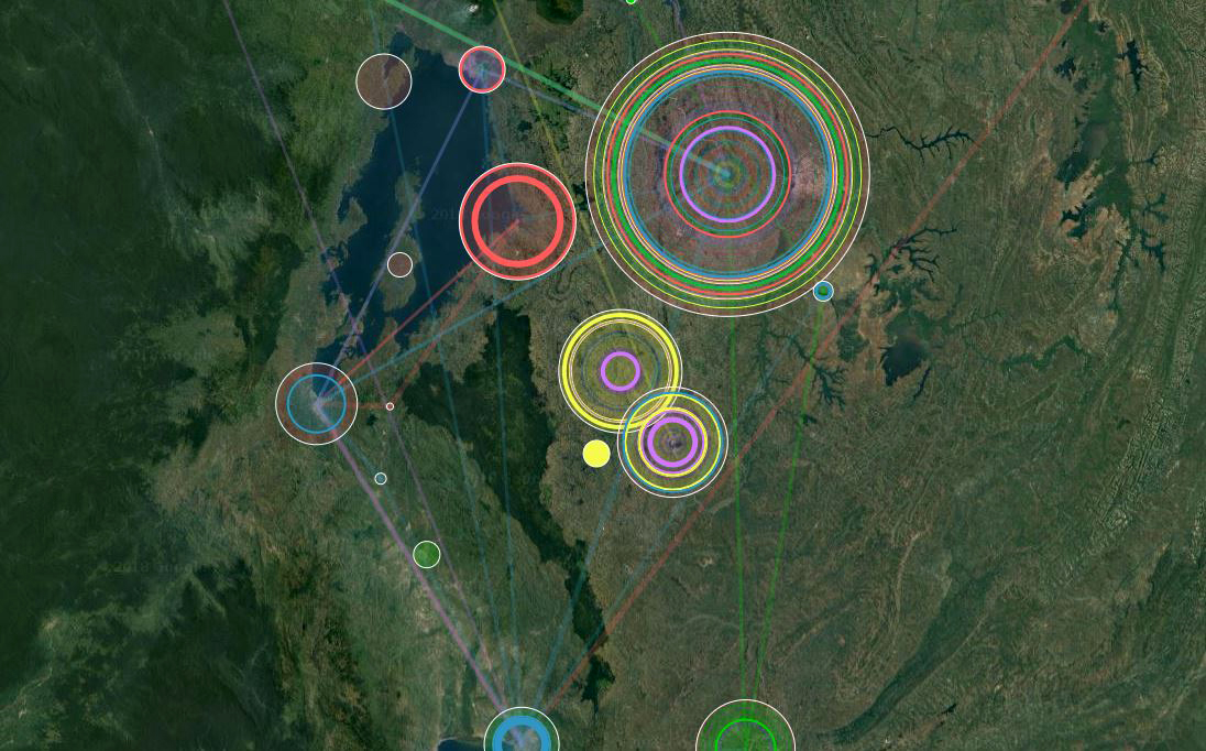
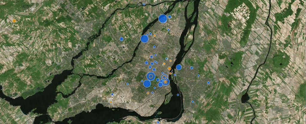
The latest version of Atlascine [https://atlascine.org/] allows for the geographical and thematic visualization of stories through an interactive map, offering innovative ways to navigate within and between them, thereby facilitating the exploration and study of their spatial dimensions and relationships. Atlascine serves as an open-source research and exhibition tool that has been used in fields such as oral history, film studies, and urban studies, and could be relevant for a range of qualitative research projects and story-based exhibitions. Atlascine has been used to produce several atlases including the Atlas of Rwandan Life Stories [https://rs-atlascine.
How to use Atlascine (version 3) : https://atlascineproject.wordpress.com/tutorial-how-to-map-your-own-narratives/